Data Visualization
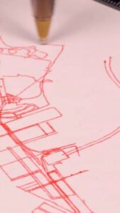
Map Compilation: Marathon, Topography and Cities
This project shows how street networks, terrain contours and running routes can become pen-plotted drawings. Students can compare how each type of map uses lines to communicate different features of a place, then explore how scale, line density and the selection of details affect readability. It provides a practical starting point for turning a familiar […]
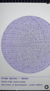
Sacks Spiral / Prime Spiral
Post Author: Pen Plot Line Dot Project Year: 2026 This project shows how a mathematical rule can generate a physical drawing. By arranging whole numbers along a spiral and marking the primes, it makes numerical relationships visible as curved patterns. Students can explore how mapping numbers to positions changes what they see, while the […]
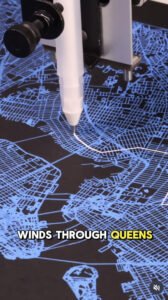
New York Marathon (Blue)
Post Author: DrawScape Project Year: 2026 This project shows how a marathon route and surrounding street network can become a plotted composition. Blue and white pens on black paper demonstrate how colour and background affect contrast and readability. Students can explore how to select map details, distinguish a route from its surroundings and align […]