Map Compilation: Marathon, Topography and Cities
 Victor Leung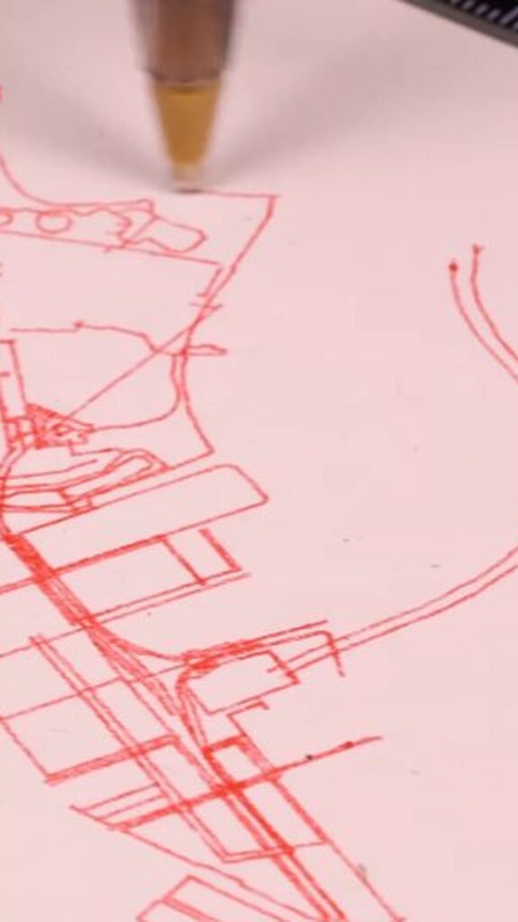
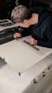
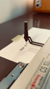
This project shows how street networks, terrain contours and running routes can become pen-plotted drawings. Students can compare how each type of map uses lines to communicate different features of a place, then explore how scale, line density and the selection of details affect readability. It provides a practical starting point for turning a familiar neighbourhood or personal journey into a drawing-machine project.
Post Author: DrawScape
Project Year: 2026
 Instagram